


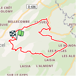


16,3 km | 31 km-effort

Gebruiker


Gratisgps-wandelapplicatie
 SityTrail
IGN / Geografische instituten
SityTrail World
De wereld gaat voor u open
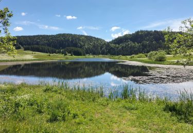
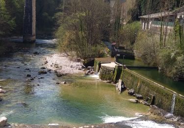
Tocht Stappen van 9,5 km beschikbaar op Bourgondië-Franche-Comté, Jura, Septmoncel les Molunes. Deze tocht wordt voorgesteld door patou39.


Stappen

Stappen

Fiets

Lopen

Stappen
Stappen
Stappen
Stappen
Stappen